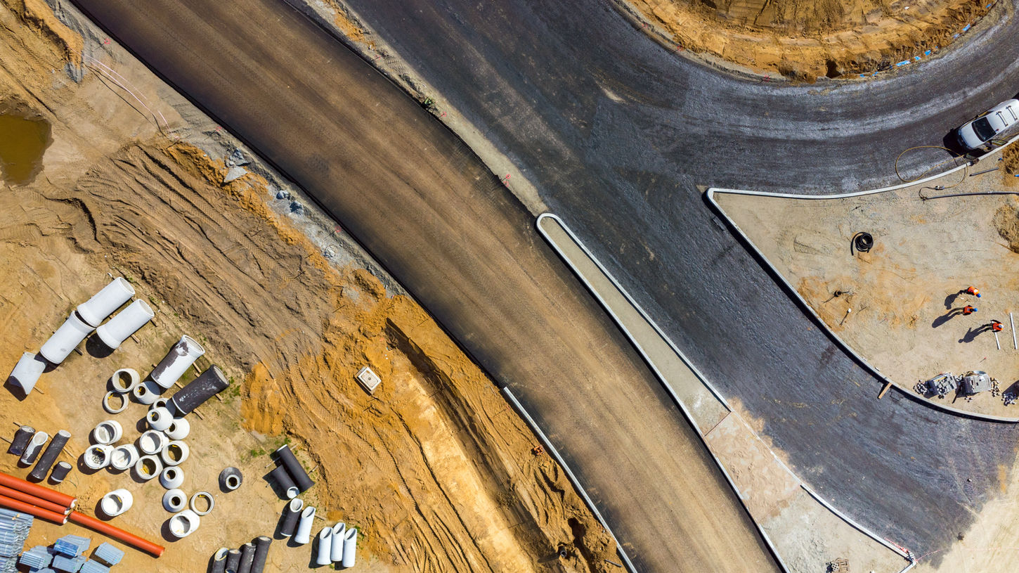
FAA Certified Drone Construction Monitoring Solutions
Progress made visible—accurate, repeatable, and mapped.
Overview
Gordon GIS offers groundbreaking faa certified drone services tailored for construction monitoring. With high-resolution imagery and advanced mapping tools, our drones ensure your project progress is tracked with unmatched precision. Our faa certified drone technology enables you to visualize growth, verify milestones, and share updates effortlessly. Streamline your construction monitoring process with our innovative solutions and keep your stakeholders informed at every stage. Book your flight today!
What's Included
Every construction flight is designed to capture the data that matters most for your site’s timeline and accountability.
Each service includes:
-
Scheduled Drone Flights (monthly, bi-weekly, or custom intervals) for consistent visual records.
-
High-Resolution Aerial Photos & 4K Video from multiple elevations and orientations.
-
Orthomosaic Mapping to provide accurate, scaled overviews of the entire jobsite.
-
Progress Timelapse Series built from previous flights to visualize construction phases.
-
GIS-Based Change Detection comparing imagery over time to measure earthwork, structure growth, or material movement.
-
Download Package: Orthomosaic GeoTIFF, PDF summary map, and media download link.
How it Works
Step | Description |
|---|---|
1. Schedule Your First Flight | Book your preferred frequency—monthly, bi-weekly, or custom—through our online booking form. |
2. Pre-Flight Setup | We confirm site boundaries, access permissions, and airspace clearance. For recurring projects, we establish identical flight paths for precise repeat captures. |
3. Data Collection | Our drone flies a systematic grid pattern capturing consistent, overlapping imagery and video footage of the site. |
4. Processing & Mapping | Imagery is processed into orthomosaic maps and analyzed in GIS to align with previous datasets for comparison. |
5. Delivery & Updates | Receive a web link or PDF map series illustrating each flight’s progress, ready to share with clients, engineers, or inspectors. |
Pricing
Sample Photos
GIS Connection
Gordon GIS applies geospatial precision to track your construction site with scientific accuracy.
Each flight’s imagery is processed in GIS, allowing you to:
-
Measure progress quantitatively (surface area, volume, or footprint change).
-
Overlay project boundaries, utilities, or design drawings.
-
Compare flights over time with change detection analysis and annotated maps.
-
Export datasets directly for integration with engineering, planning, or permitting systems.
With GIS, your project isn’t just photographed—it’s measured, mapped, and made actionable.


