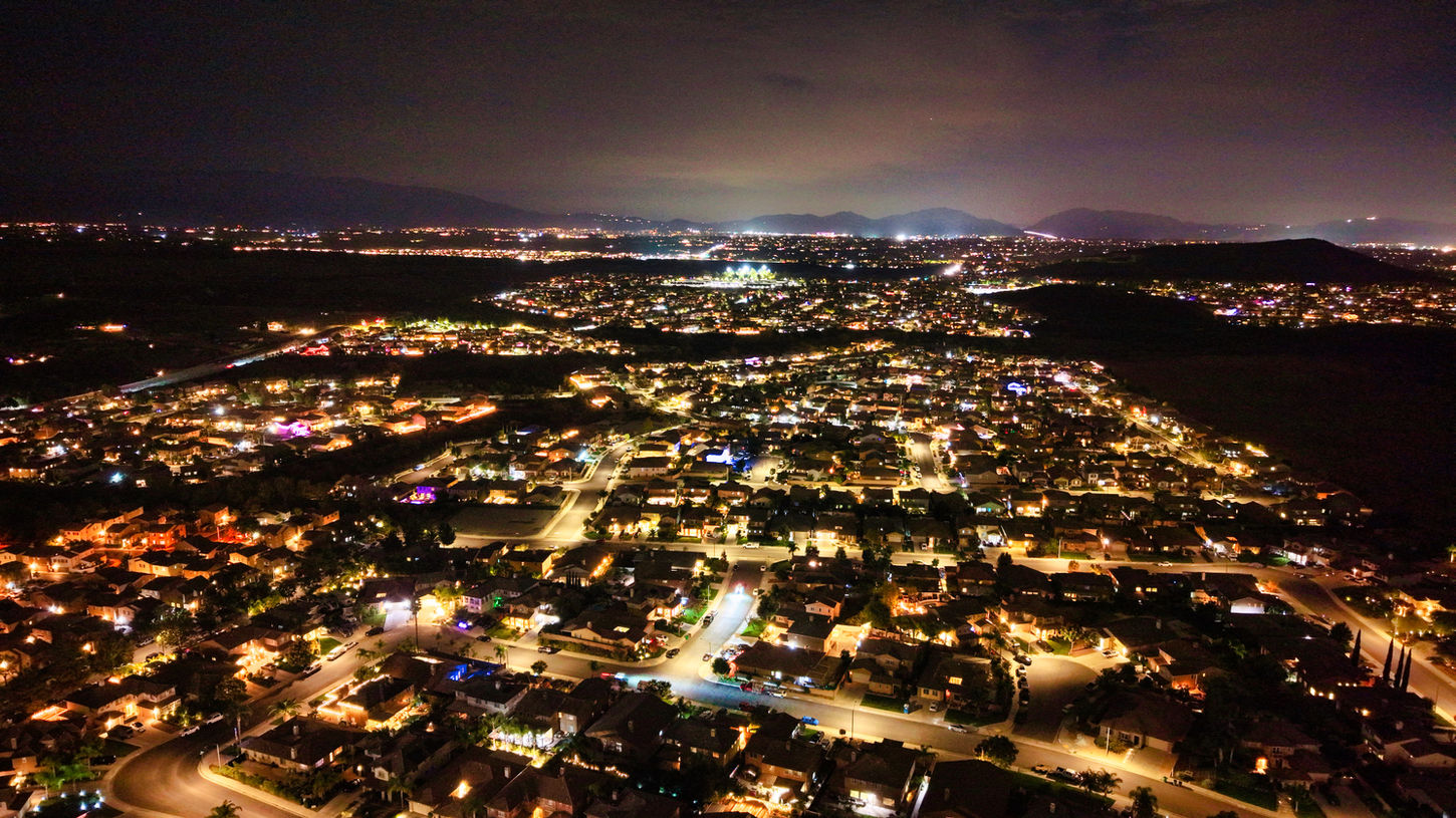
Expert Aerial Photography Services Tailored for Southern California
Cinematic visuals with spatial precision.
OVerview
Transform your projects with Gordon GIS's aerial photography services in Southern California. Delivering stunning 4K HDR visuals and geotagged images, we cater to a variety of needs, from real estate listings to creative branding. Our skilled team ensures precision and quality in every shot, helping you showcase your property or story in the best light. Book your aerial photography session today and elevate your visual content.
What's Included
-
20–40 edited high-resolution photos
-
30–60 second highlight video
-
Smooth flight paths, reveal shots, or orbits
-
Optional ground b-roll integration
-
Geotagged image package for mapping applications
How it Works
Step | Description |
|---|---|
1. Consultation | Discuss site, goals, and deliverables. Confirm airspace and location. |
2. Flight Planning | Plan optimal lighting and path for cinematic angles. |
3. Capture | Execute flight with safety checks, collecting video and stills. |
4. Post-Processing | Edit photos/videos, color-correct, and prepare deliverables. |
5. Delivery | Provide download links and optional GIS integration package. |
Pricing
Sample Photos
GIS Connection
As GIS professionals, we don’t stop at visuals — we connect your imagery to place.
Each aerial dataset can be integrated into StoryMaps, parcel layers, or progress dashboards.


